
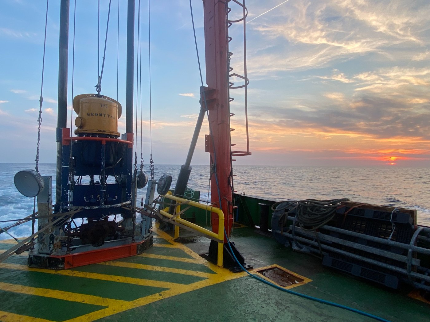
Beach regeneration
Sediment sampling by vibrocorer for the renewal of the coastal area in the Valencian Community, reducing the environmental impact of the introduction of different categories of sand.
More than 40 years of work at sea and on the coast, in Spain and in 22 countries.
These are some of the projects we have carried out around the world.
Sediment sampling by vibrocorer for the renewal of the coastal area in the Valencian Community, reducing the environmental impact of the introduction of different categories of sand.
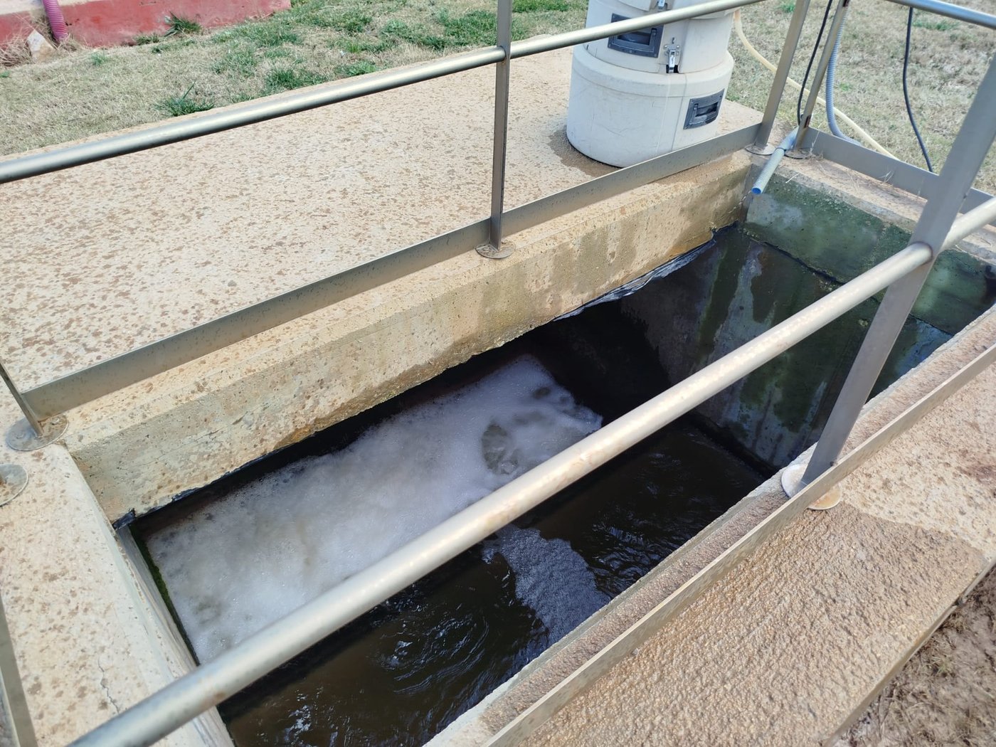
Physicochemical and biological study of the state of the waters of the outfall of the Calp WWTP (Alicante).
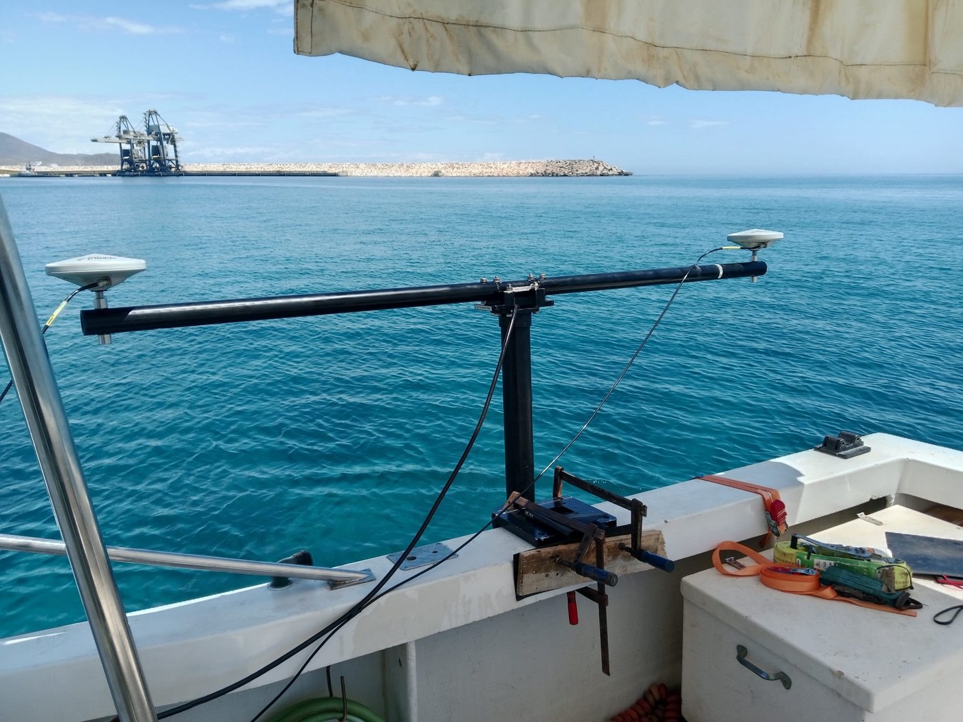
Characterisation of the marine environment and environmental impact study for the green methanol plant at the former Carboneras thermal power station.
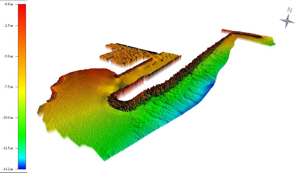
Bathymetric study of the seabed for the development of improvement and dredging works in the port of Vallcarca (Barcelona).
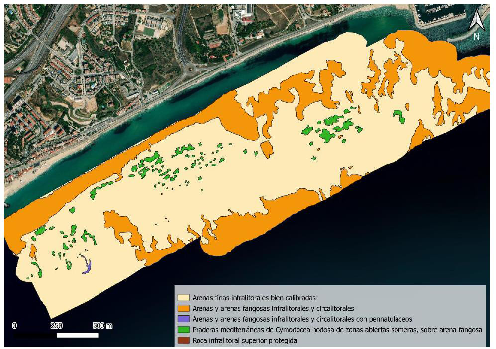
Production of the map of marine habitats, indicating the different habitats.
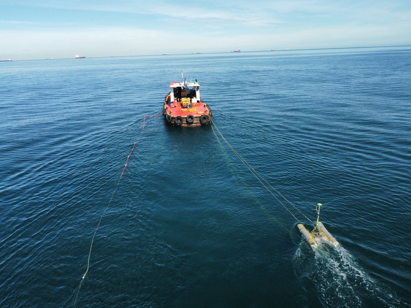
Morphological and geophysical study of the area of the port of Sonsonate, in El Salvador, with the aim of expanding the port.
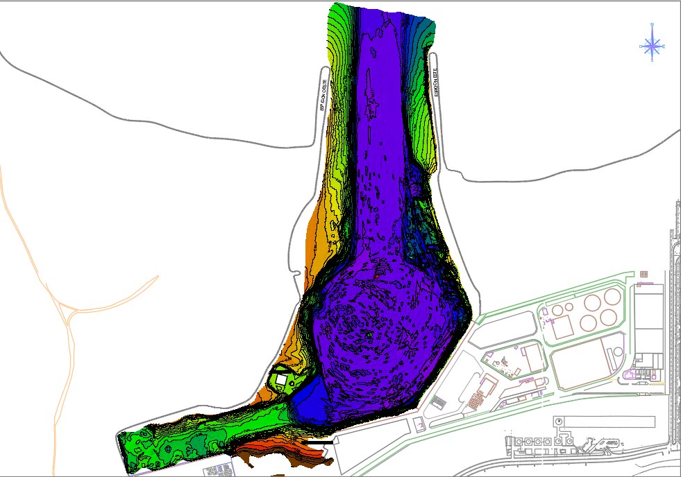
High-resolution multibeam echosounder bathymetric survey for the basic engineering of PORTER's new terminal at the port of Dos Bocas.
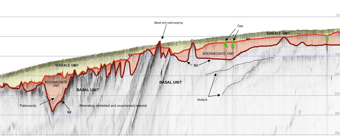
Marine geophysical survey with reflection seismics (sub-bottom profiler and Boomer system) for the installation of a future oil pipeline in Cabinda.
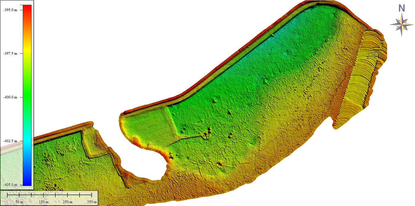
Multibeam echosounder bathymetric survey in a potash extraction pond in the Dead Sea.
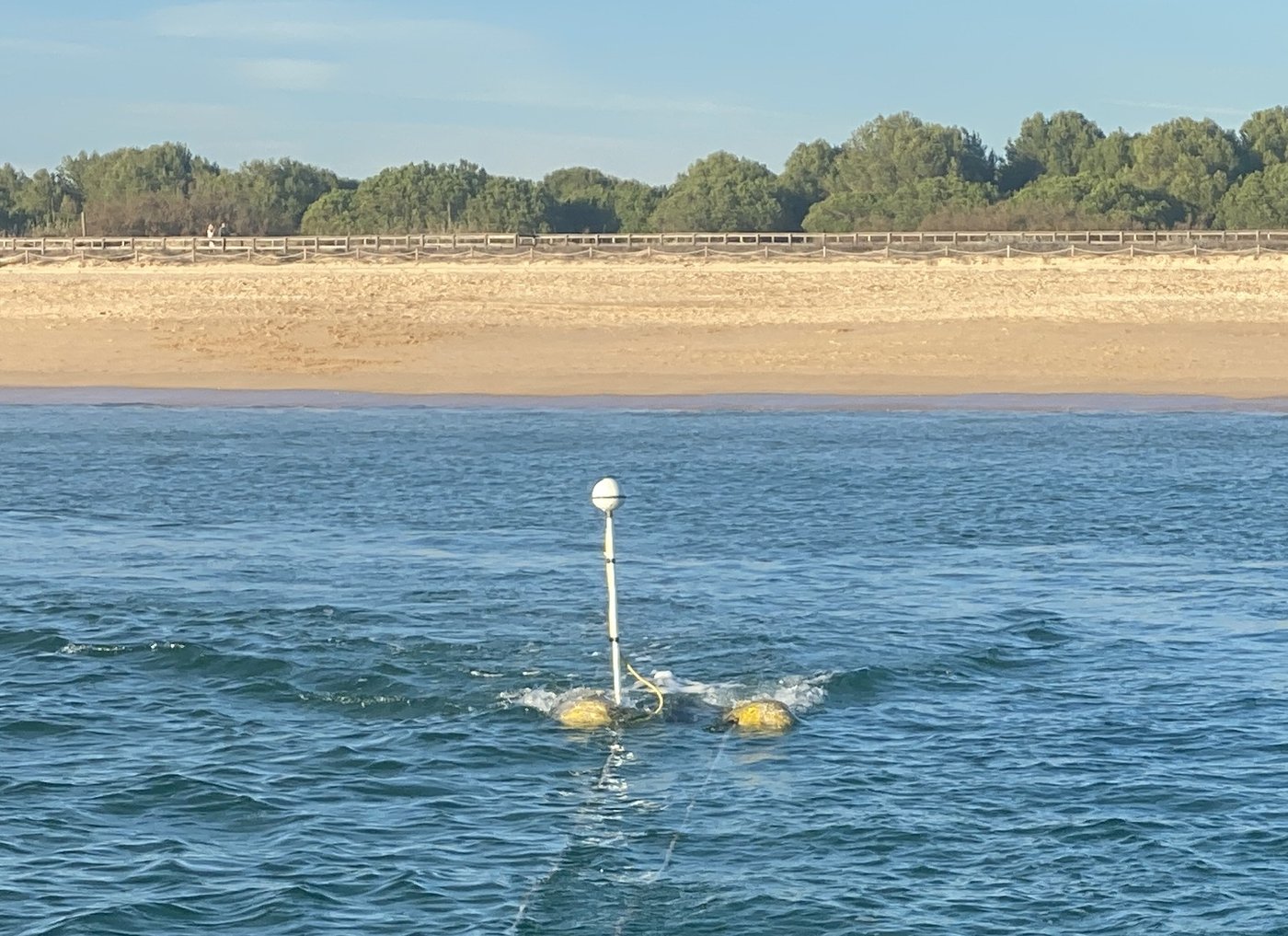
Hydrographic studies prior to the construction of a desalination plant in the Algarve: topographic and bathymetric surveys, morphological studies with side-scan sonar and geophysical surveys with a Boomer system, current and tide studies, and water and sediment sampling with laboratory analysis.
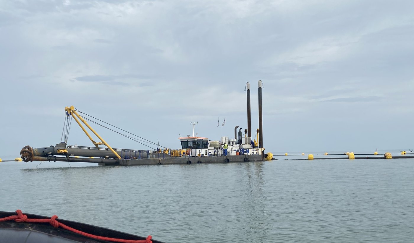
Bathymetric monitoring during a construction project in Angola, consisting of dredging control surveys with a multibeam echosounder.
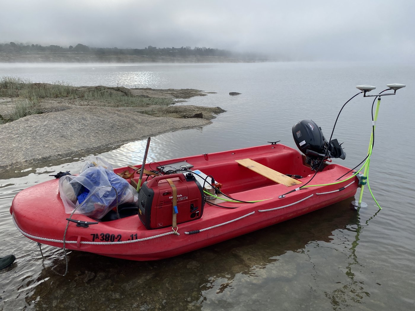
Topographic and bathymetric survey with a multibeam echosounder at a reservoir in Portugal.
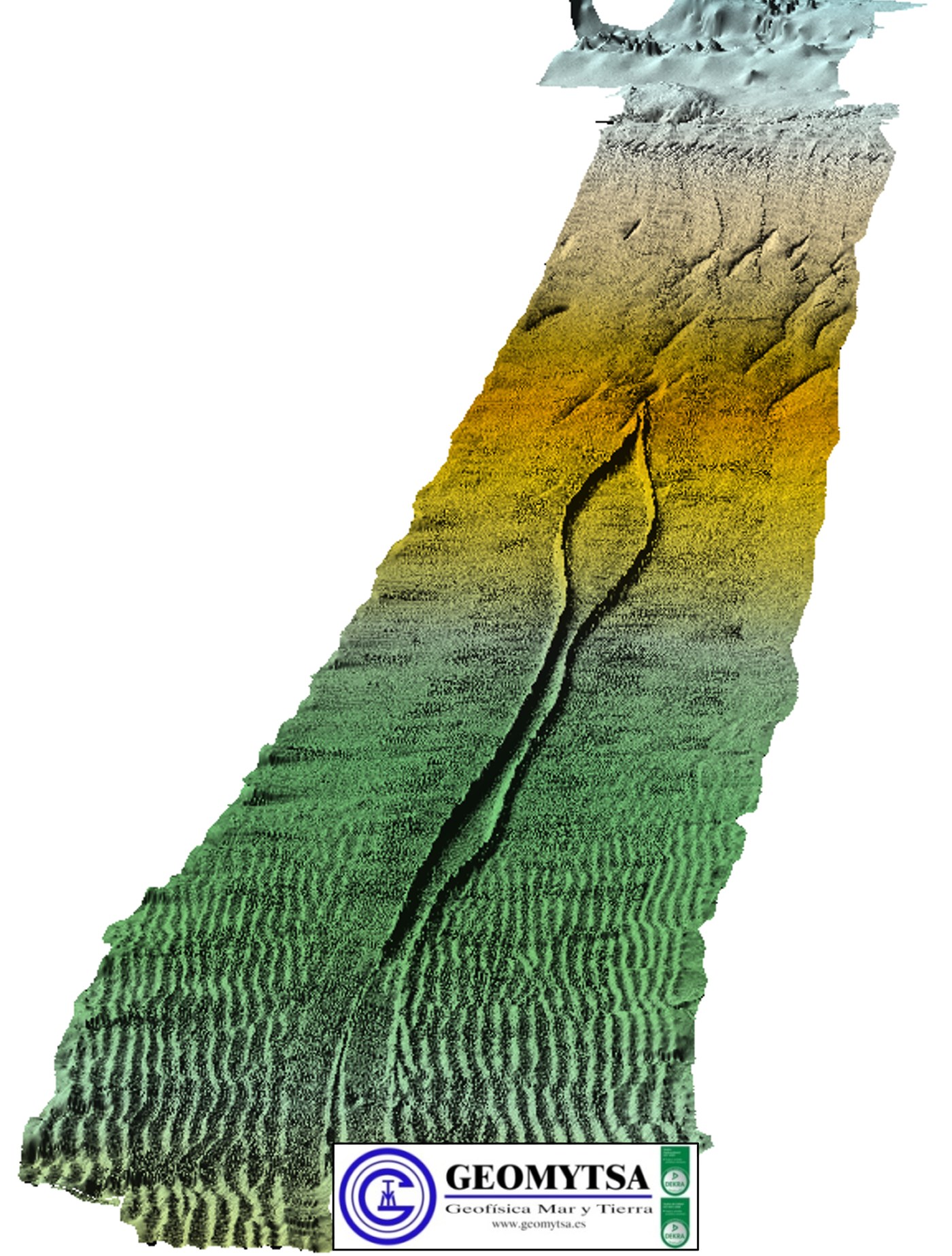
Inspection work onshore and in the nearshore zones of the gas pipelines linking Spain and Algeria: locating the pipelines (both buried and exposed sections), checking their physical condition and the state of their cathodic protection.
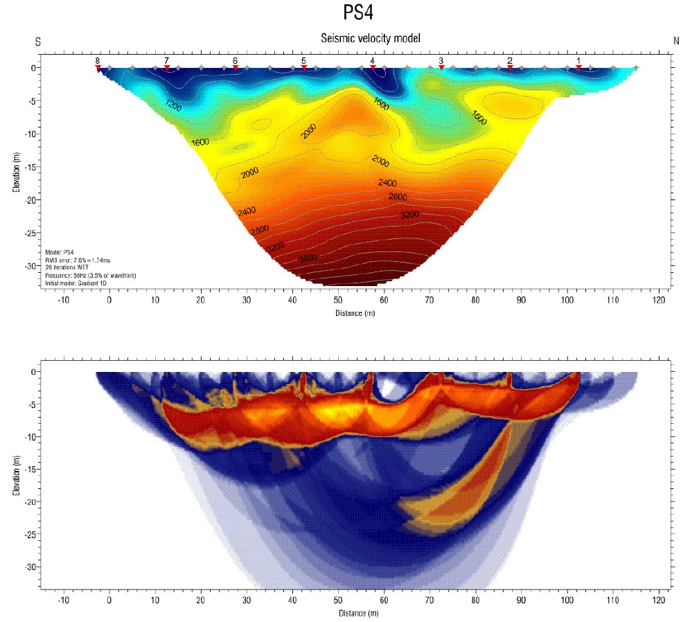
Land and marine geophysical survey during the construction of a port in Angola.
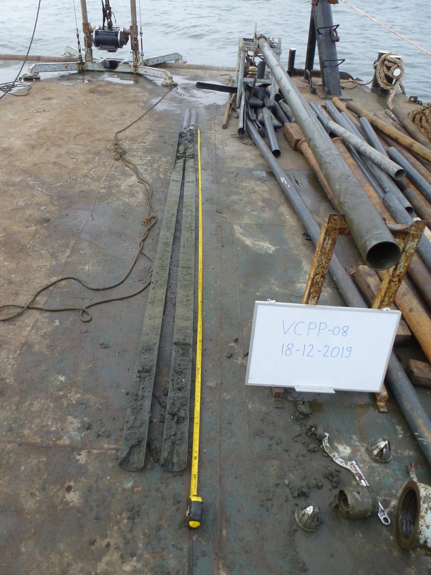
Deep sediment sampling campaign with vibrocorers prior to the construction of a new marina in Peru.
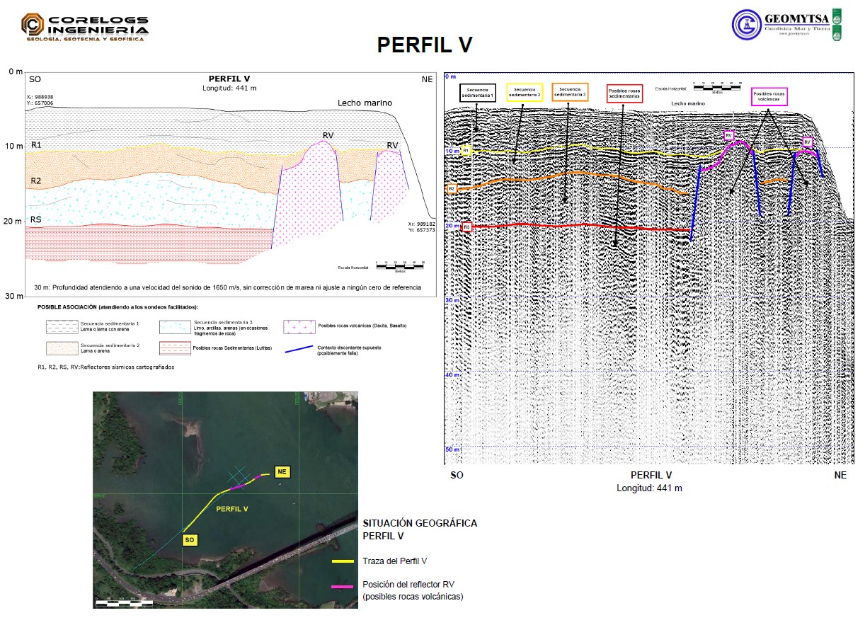
Geophysical study with reflection seismics prior to the construction of a bridge in Panama.
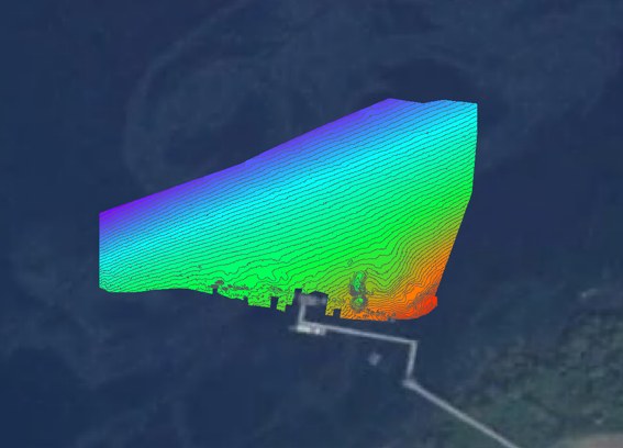
Multibeam echosounder bathymetric survey in Equatorial Guinea.
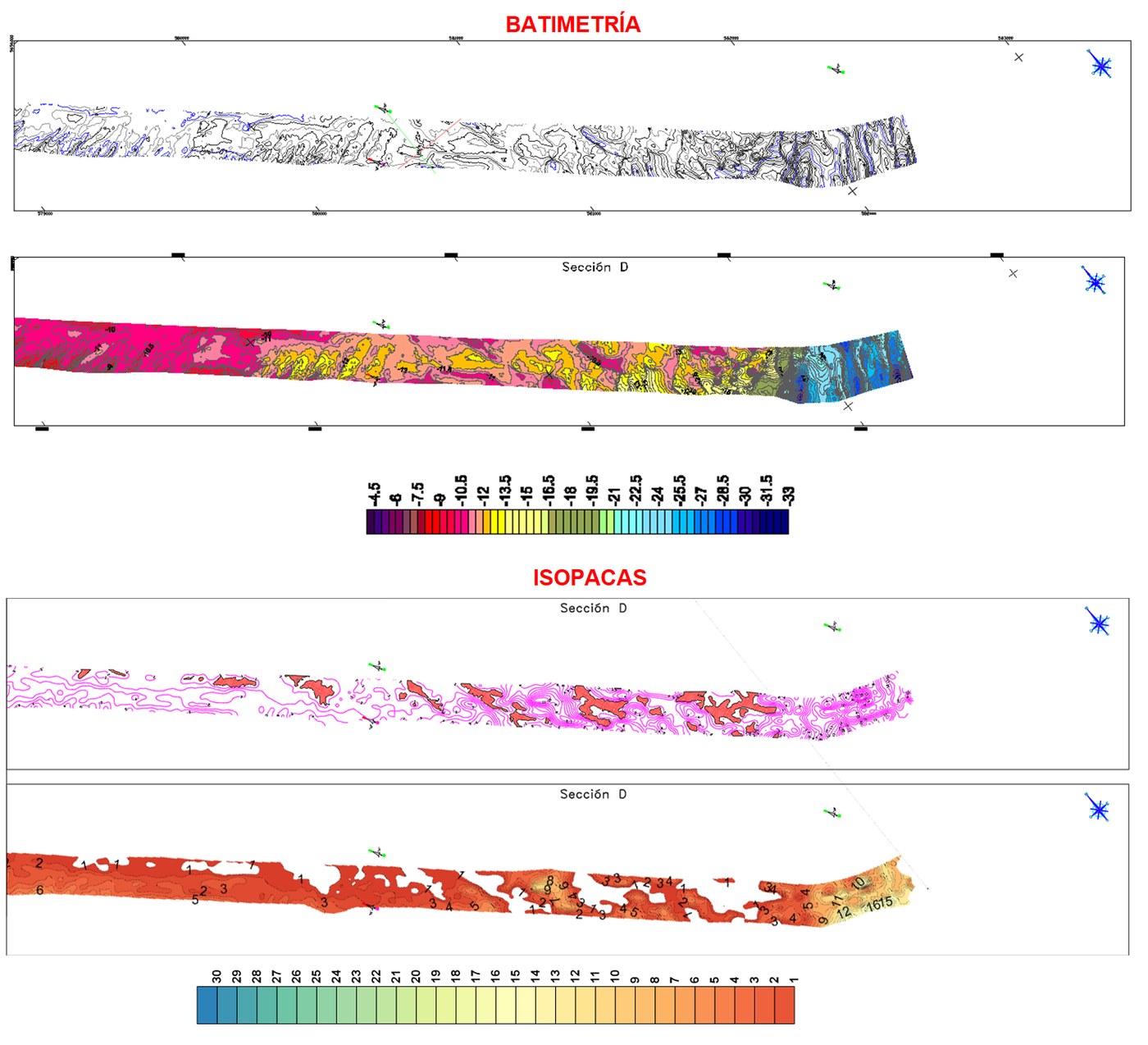
Multibeam bathymetric survey and geophysical study with reflection seismics in the Guayaquil channel (Ecuador).
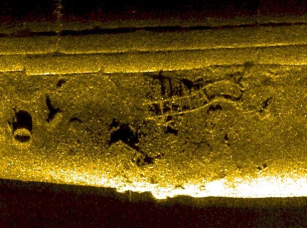
Morphological study with side-scan sonar and geophysical study with reflection seismics inside a port in Ecuador.