
Bathymetric surveys
Bathymetry is the foundation for understanding and representing the underwater relief. At Geomytsa we have extensive experience in bathymetric surveys, using high-precision technology to obtain detailed and reliable models of the seabed.
We have state-of-the-art equipment that allows us to undertake projects of different scales and levels of complexity.
Equipment
- Single-beam echosounder SINGLEBEAM CEE ECHO.
- MULTIBEAM echosounder RESON T50-P.
- MULTIBEAM echosounder NORBIT.


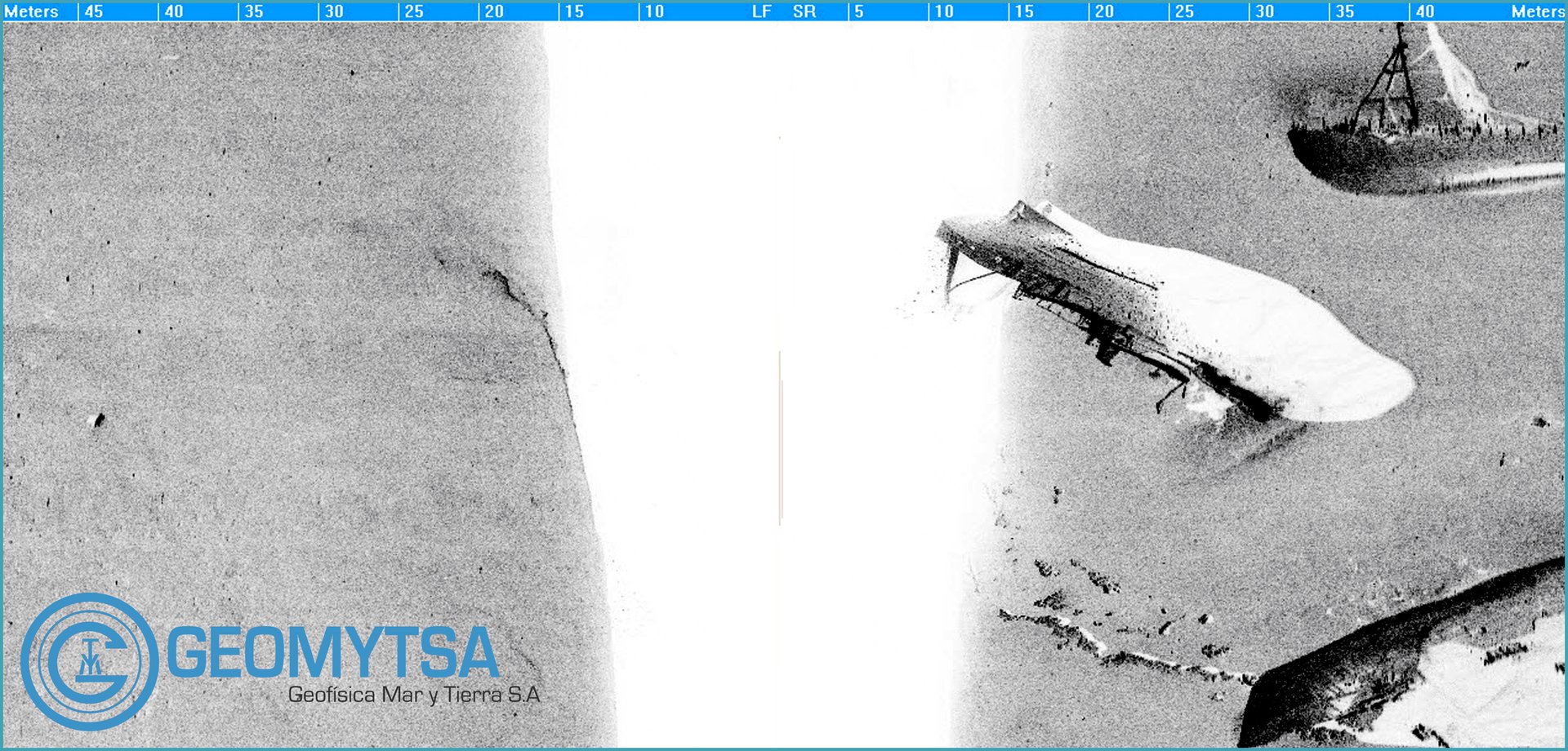
Morphological and seabed characterisation studies using side-scan sonar
Morphological analysis makes it possible to characterise the surface of the seabed and to identify natural and man-made structures, plant communities and other relevant features of the underwater environment with precision.
At Geomytsa we use high-resolution side-scan sonar systems, with frequencies ranging from 100 to 1,600 kHz, together with advanced data processing and interpretation tools, to obtain a detailed characterisation of the seabed.
Equipment
- Side-scan sonar.
- SSS KLEIN 3000.
- SSS EDGETECH 4125 P.


Geophysical surveys using seismic reflection
Seismic reflection makes it possible to investigate the structure and characteristics of the sub-seabed by acquiring high-resolution profiles.
At Geomytsa we use different seismic acquisition technologies that allow us to identify sedimentary units, discontinuities and geological structures, providing essential information for engineering, research and geological characterisation projects.
Equipment
- Sub-bottom profilers.
- Boomer systems.
- Sparker systems.


Magnetometric surveys
Magnetometric surveys make it possible to detect and map local variations of the magnetic field, helping to identify anomalies associated with metal objects and other structures that may generate a magnetic response.
At Geomytsa we combine high-sensitivity instrumentation with the experience of our technical team to run efficient acquisition campaigns and obtain accurate, reliable results.
Equipment
- IXSea MAGIS.
